

Nature conservation projects
Nature conservation projects
To the projects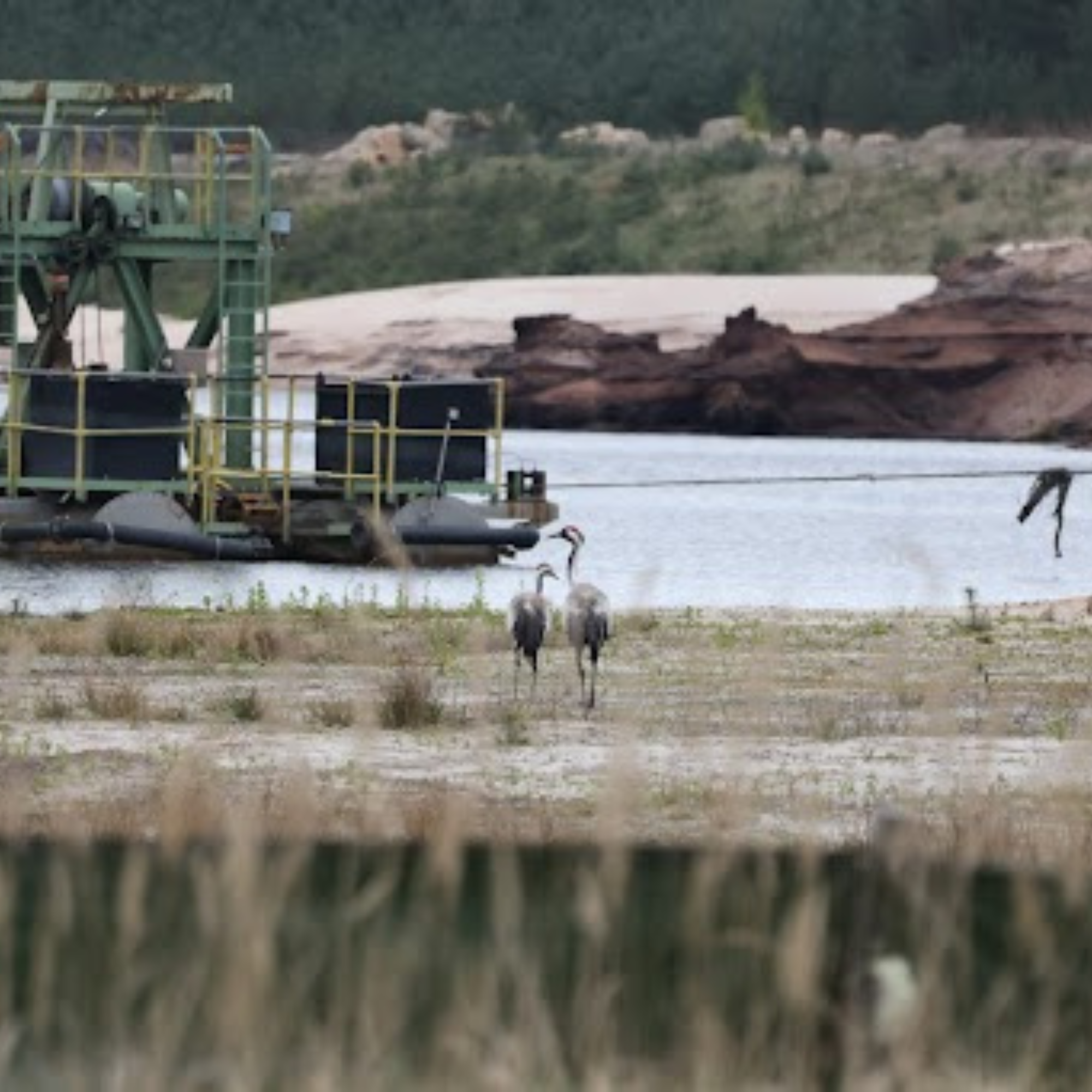
Intervention procedure
Intervention procedure
To the projects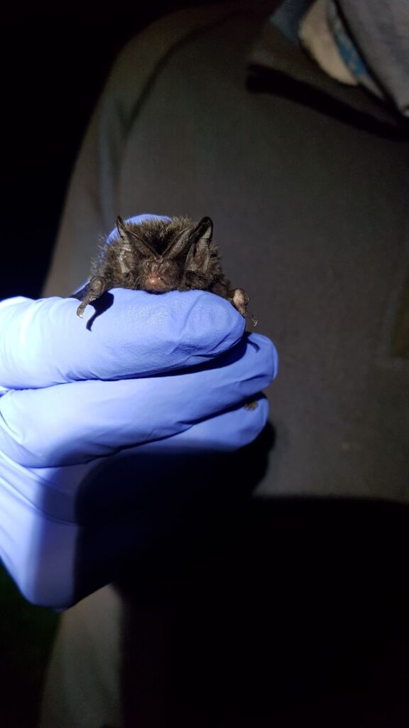
Monitoring
Monitoring - Projects
To the projects
Jannis Gottwald
CEO